BioChocó
An integrated biodiversity monitoring network across a forest-to-farm landscape in the Chocó of western Ecuador.
Objectives
The Chocó is one of the most biodiverse rainforests on Earth, and more than 95% of its original forest is already gone. What remains is a mosaic of forest, cacao farms, and pasture. How does biodiversity respond to these shifts in land use? How can we design conservation interventions to maximize benefits for local communities and biodiversity? FCAT is working to answer these questions.
BioChocó is one part of a broader, community-led conservation and research program led by FCAT since 2003, employing two dozen local residents, pairing field research with education and capacity building, and protecting >750 ha and ~50 endangered species with a multi-use field station that receives hundreds of visitors per year. Our approach has produced more than 50 peer-reviewed scientific papers with local coauthors and awards including the Whitley Prize for Nature. BioChocó is run by four local field biologists — known as FCATero/as — and works with 50 local farmers who host monitoring stations on their land.
Our main objectives are to:
01
Track conservation outcomes
Follow the real-time conservation outcomes of FCAT's corridor-building and restoration interventions, so we can see how biodiversity recovers as it happens.
02
Understand land-use change
Measure how biodiversity and ecosystems respond to land-use change across a gradient of land use types, from primary forest through cacao agroforestry to open pasture.
03
Assess priority species
Provide scientifically rigorous habitat-use assessments for the Chocó's endangered and keystone species across birds, mammals, frogs, and insects.
04
Elevate the Chocó locally & globally
Raise local & global awareness of and engagement with this understudied rainforest through personalized farmer-reports and an open, real-time data platform.
How each biodiversity monitoring station works
Every biodiversity monitoring station within the Biochocó network is built around a stack of automated sensors paired with field observations, so a single visit captures multiple aspects of biodiversity, local microclimate, and forest structure together.
Motion-activated camera
Trail camera · photo mode
Runs at least 30 days per deployment. We pass photos through a custom species classifier we fine-tuned for the Chocó and each image is reviewed and verified.
Passive acoustic recorder
Song Meter Micro 2 · 48 kHz
Records soundscapes to capture calls and songs from birds, mammals, frogs, and insects, recording one minute in every ten.
Microclimate logger
iButton Thermochron
Logs temperature at 30 minute intervals through the deployment, giving a paired record of the microclimate each camera and recorder experienced.
Habitat structure
Field survey · drone overflight
The field team measures canopy cover, tree size and density, and forest cover around each station, then links structure to what the sensors detect.
What types of habitats are we monitoring?
Monitoring stations are spread across the full gradient of land use types in the region, from primary and regenerating forest to open pasture, along with three cacao farming systems.
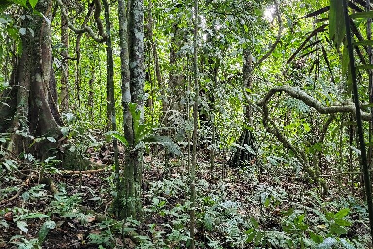
Primary forest
Relatively undisturbed old growth
14 sites sampled
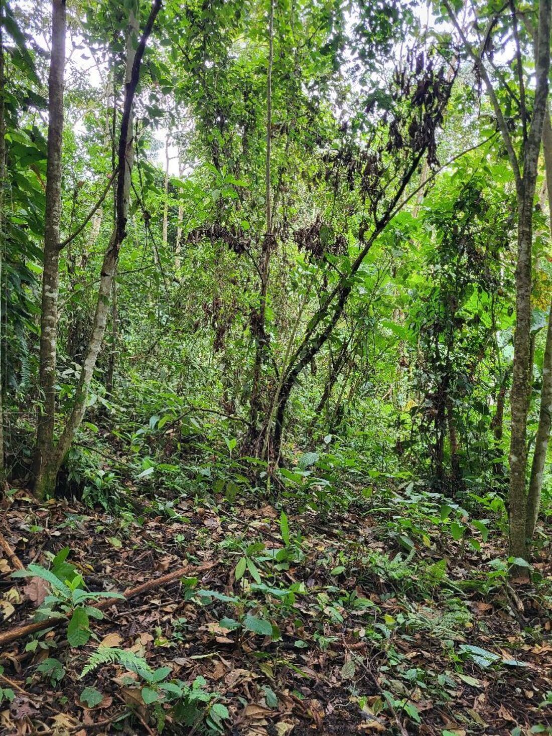
Secondary forest
5–30 years of regeneration
15 sites sampled
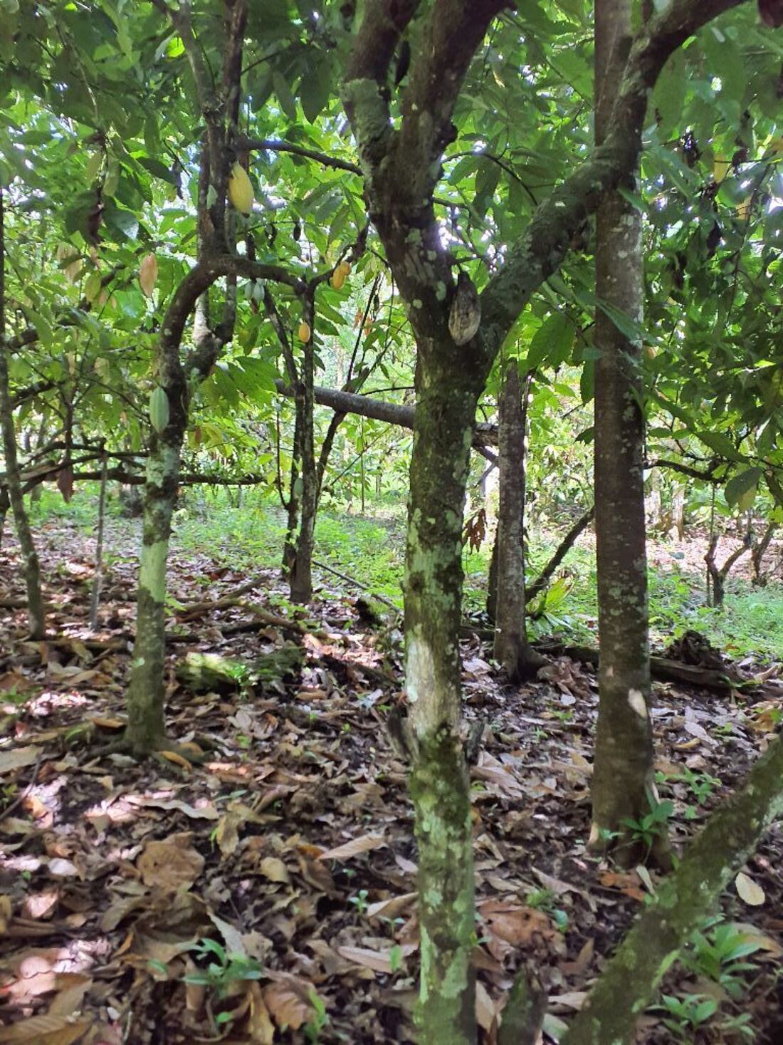
Cacao (Nacional)
Mature shade-grown cacao, native variety
15 sites sampled
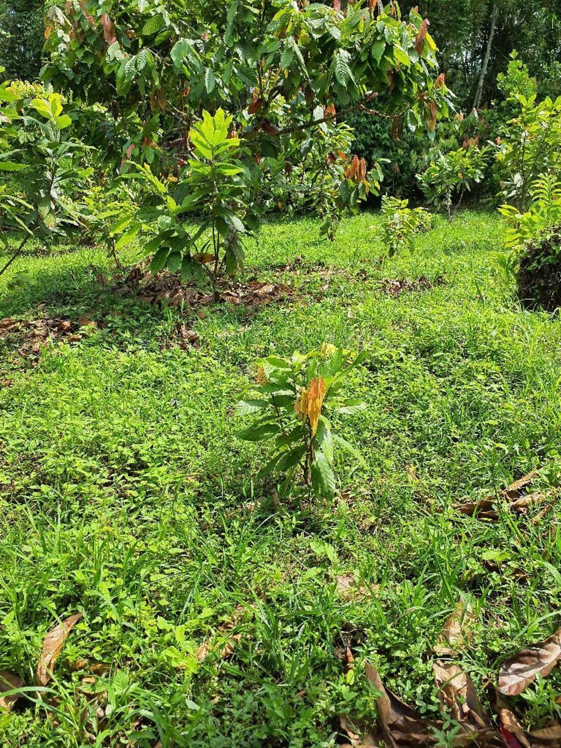
Cacao (GIZ)
Young shade-grown agroforestry, under 5 years
15 sites sampled
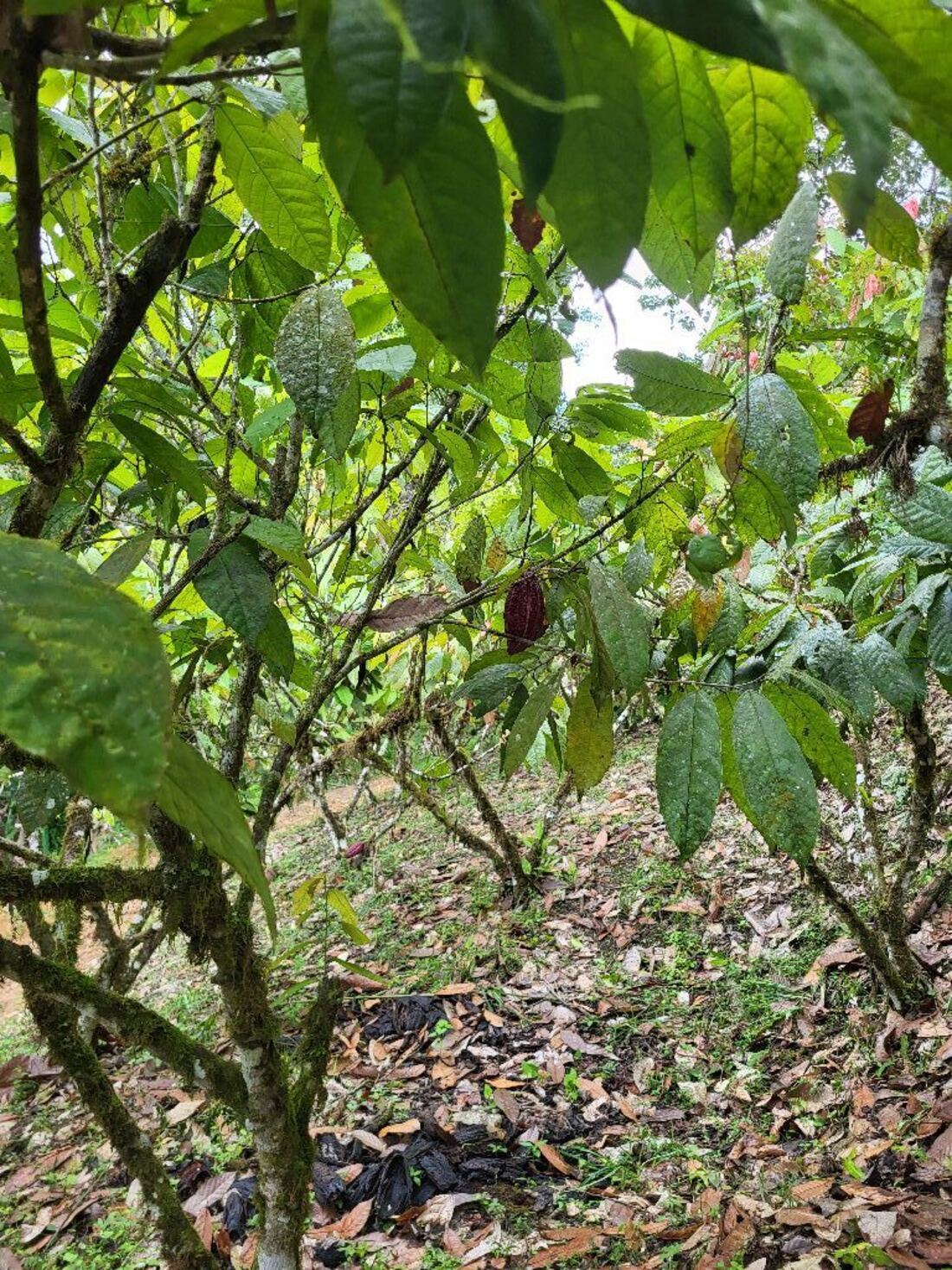
Cacao (CCN)
Full-sun cacao, no shade trees
15 sites sampled
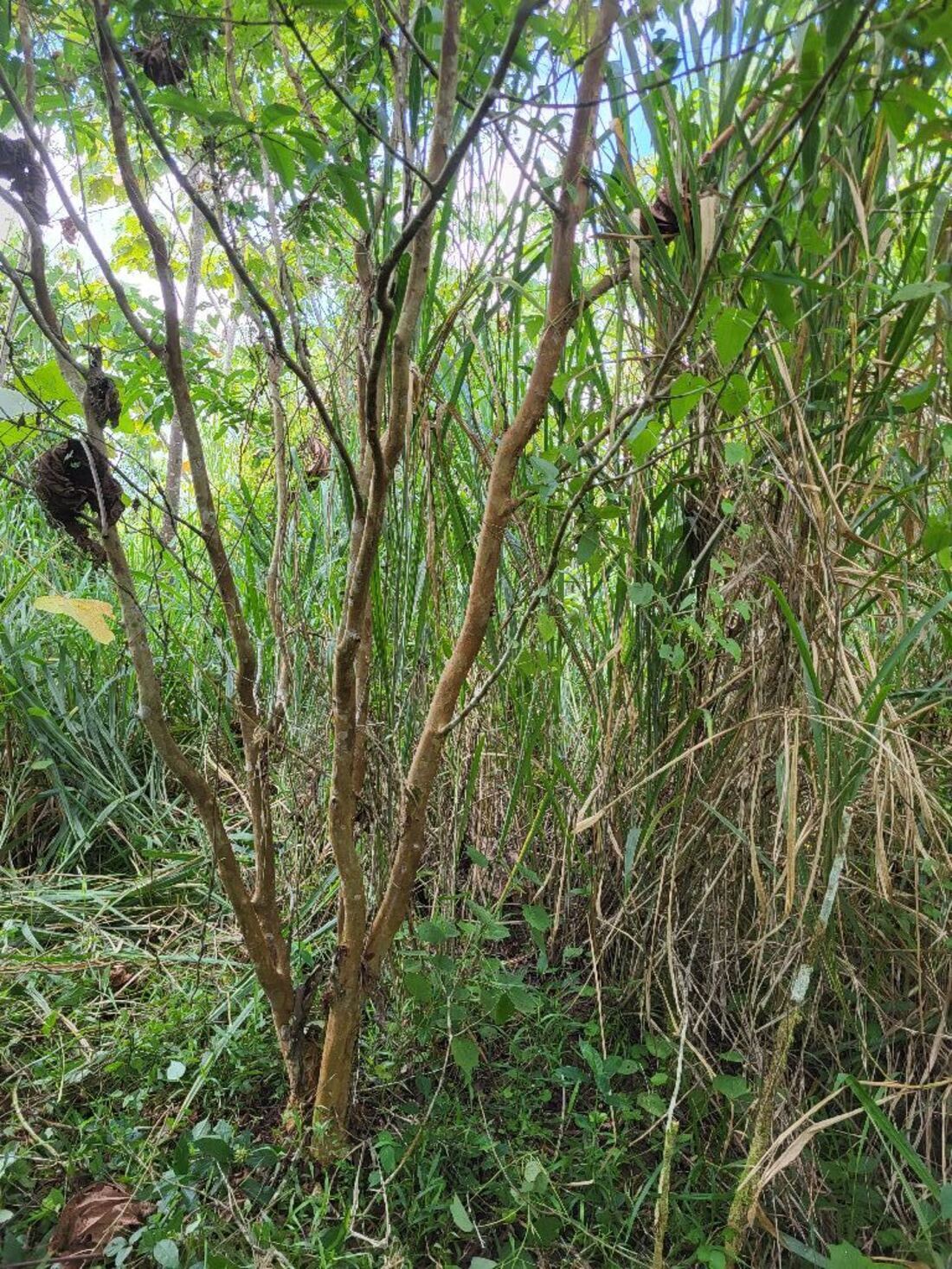
Reforestation
Active restoration plantings as part of the Choconexion project
12 sites sampled
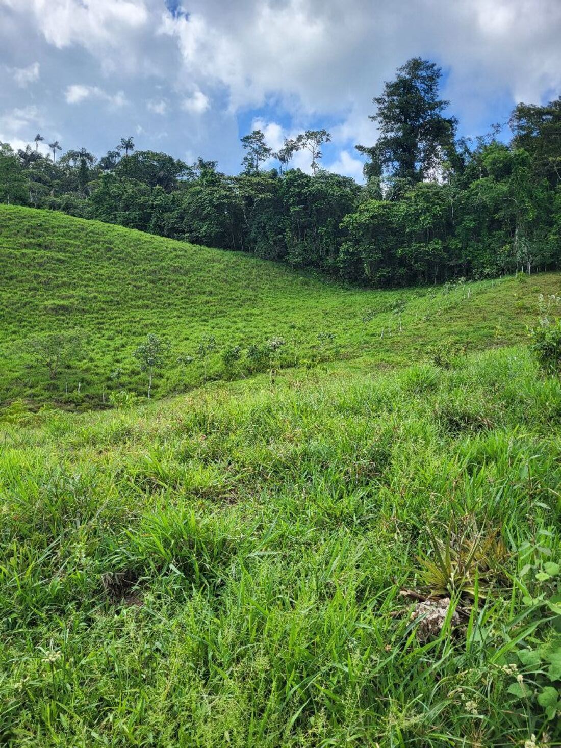
Pasture
Open, grazed land
14 sites sampled
Where the network stands today
66
monitoring deployments
64 camera · 65 audio · 65 climate
2,168
camera-trap days
Jan 2026 – Jul 2026
26,830
camera-trap photos
collected in the field
14,706
animal detections
animals found in photos
38
species on camera
19 mammals · 18 birds
435,933
audio recordings
2.34 TB of sound
346,172
bird detections by sound
BirdNET at ≥0.8 confidence
118,973
microclimate readings
84 temperature loggers
Where we are working
On the map below, each point is a monitoring site, colored by habitat type, spanning a network of ~50 local farms. Pan and zoom to explore; the dashed line marks the FCAT reserve boundary.
Species detections
Camera identifications are verified or corrected by FCAT biologists. Bird detections come from automated BirdNET analysis, filtered to a confidence of 0.8 or higher.
On camera
38 species identified so far. The most-detected wild species:
By sound
Most-detected birds across 435,933 recordings:
From the field
Leopardus pardalis
Ocelot walking along a trail at night
Dicotyles tajacu
A collared peccary often seen traveling in groups
Cuniculus paca
Lowland paca foraging at night
Dasyprocta punctata
Central American agouti eating a fallen fruit, the forest's most-photographed mammal
Nasua narica
A white-nosed coati nosing through the leaf litter by day
Eira barbara
Tayra, a large diurnal weasel, on the move
Penelope purpurascens
Crested guan foraging on the forest floor
Tinamus major
Great tinamou, more often heard than seen
- Ramphastos ambiguus — A Yellow-throated Toucan calling from the canopy
- Ramphastos brevis — Chocó Toucan, a Chocó endemic
- Cephalopterus penduliger — Long-wattled Umbrellabird, a threatened Chocó endemic and flagship species for FCAT
- Ortalis erythroptera — Rufous-headed Chachalaca, an endangered endemic, at dawn
- Pulsatrix perspicillata — Spectacled Owl calling after dark
- Tinamus major — Great Tinamou's tremulous whistle at dusk
An integrated end-to-end platform
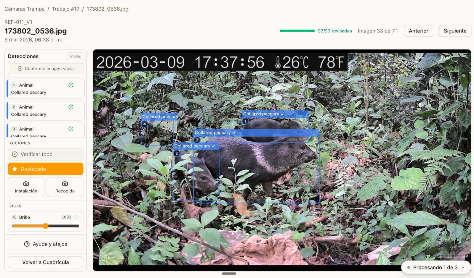
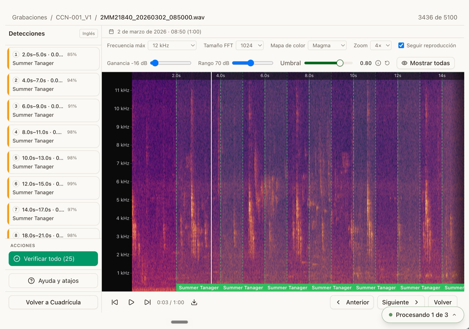
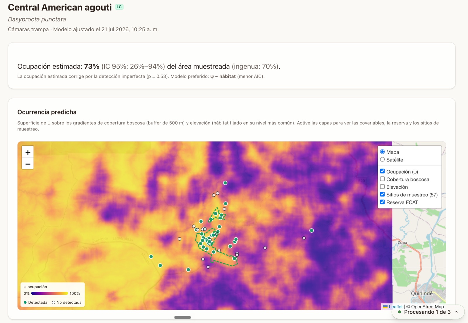
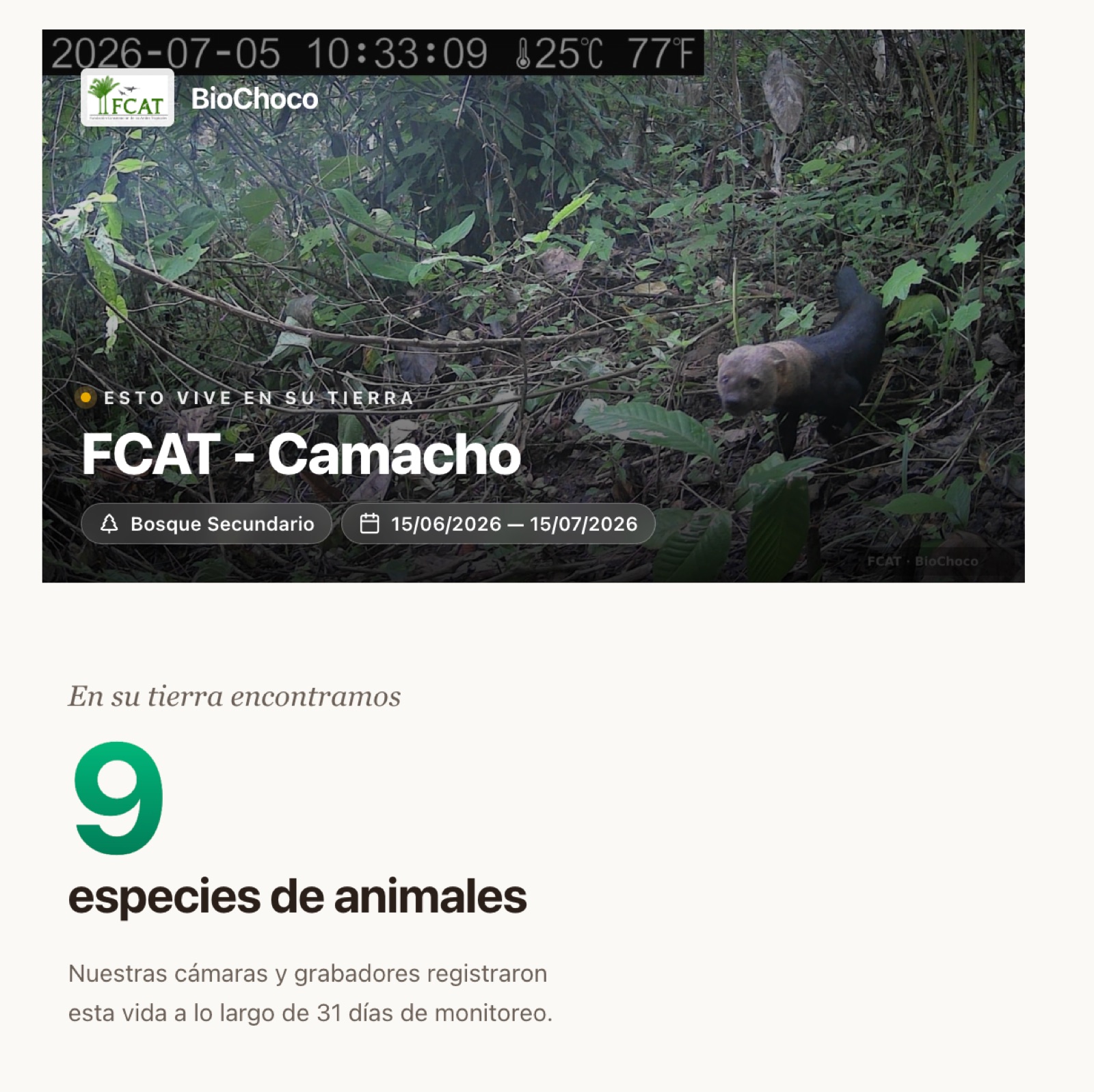
FCAT has built an end-to-end platform that integrates raw sensor files into verified biodiversity data to share with local residents and the broader public. Camera traps, passive audio recorders, and microclimate loggers all feed a single pipeline, where our custom camera trap species classifier and BirdNET propose identifications, biologists verify the results, and species habitat use models refit as new data is processed. The data flows both back to the landowners hosting the sensors through their own personalized site pages and also to the global research and conservation community via standardized data outputs (e.g., Camtrap DP).
FCAT Portal · Clasificador de especies
FCAT Portal · Audio
FCAT Portal · Ocupación
FCAT Portal · Fichas por sitio
Also in the platform
- Open-data export in the Camtrap DP standard, published to GBIF and the Environmental Data Initiative.
- Per-station microclimate records from iButton loggers — temperature series, deployment window, and coverage.
- A field schedule that tracks every sensor installation and retrieval across the network.
Where collaborators come in
We designed the BioChocó network as a shared foundation for researchers. FCAT collaborates with computer scientists and ecologists at Tulane University, researchers at Universidad San Francisco de Quito, Virginia Tech University, University of Hawaii, the Cornell Lab of Ornithology, among many others, so collaborators plug into an active, well-connected effort.
Opportunities for collaboration
- Occupancy and community modelingRepeated visits across the land-use gradient support single- and multi-species occupancy and biodiversity studies on birds, mammals, frogs, and insects, drawing on verified species records from camera traps and passive audio recorders.
- Restoration and corridor outcomes over timeFCAT is building a biodiversity corridor and running two large-scale restoration and agroforestry projects now, with monitoring stations already in the ground. Collaborators get a before-and-after record with the land-use gradient as built-in reference sites, which supports work on how quickly animal communities recover and whether a new corridor promotes the movement it was designed for.
- Machine learning across images and audioA labeled, growing image dataset for classifier training and detection benchmarks, built on our fine-tuned BioCLIP and MegaDetector, plus terabytes of day-and-night audio recordings.
- Agroforestry and sustainable farm designMonitoring stations sit on roughly 50 working farms, spanning three cacao management systems alongside forest and pasture. That setup can show which agricultural practices promote biodiversity on the farm while still being profitable: shade tree composition, canopy structure, patch size, distance to remaining forest.
- Microclimate and thermal ecologyEvery station logs temperature every 30 minutes for the length of its deployment, alongside its own camera, audio, and forest-structure record. That pairing supports work on how much heat cacao shade and forest canopy buffer compared to open pasture, and where thermal refugia sit for frogs and insects as the Chocó warms.
- People and land-use decisionsRoughly 50 landowners host stations and receive a personalized page showing what lives on their land. What practices can help promote and incentivize biodiversity-friendly land-use decisions?
- Additional taxa or sensors!We've built the network of 50 farms with landowner agreements in place, and a resident field team that visits every station on a schedule. Collaborators can add a method to sites that already run, whether that is eDNA sampling, bat detectors, arthropod traps, or vegetation plots, and build on the paired camera, audio, microclimate, and structure data at each one.
Get in touch!
If your research could use camera-trap, acoustic, or microclimate data from a Chocó forest landscape, or you want to co-design a study around the network, please reach out.
Karla Zambrano
Field Coordinator
Luis Zambrano
Field Coordinator
Gregory Paladines
Local biologist (FCATero)
Gloria Loor
Local biologist (FCATera)
Julio Loor
Local biologist (FCATero)
Darwin Zambrano
Local biologist (FCATero)
Funders and acknowledgements
Funders
Support for the BioChocó monitoring network comes from:
- Wedgetail Foundation
- National Science Foundation
- Private donors
Institutional support
- Ministry of the Environment, Water and Ecological Transition (MAATE)Research permitting and institutional support
Fundación para la Conservación de los Andes Tropicales
BioChocó biodiversity monitoring network · Chocó, Ecuador
Data current as of September 2, 2026
BioChocó biodiversity monitoring network · Chocó, Ecuador
Data current as of September 2, 2026